Horsery®
LOCATING GPS...
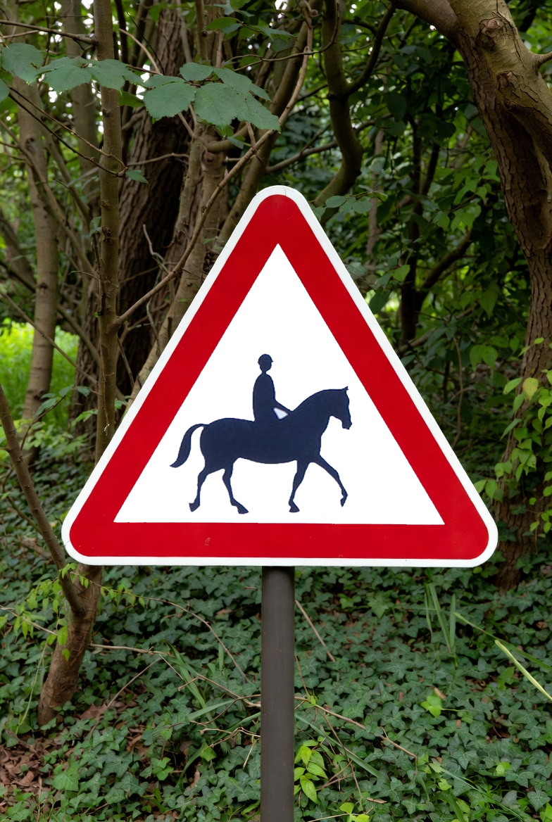
Drop a 'Horses' road sign onto the map at your current location by using the 'DROP SIGN' button to the left of the intials box. It lasts an hour. You can also drop further signs along your route. Modern connected vehicles can see this GPS marker and pre-warn approching drivers.
...Its like placing a traditional road sign into the digital world:
The 'PIN DROP' button drops a static pin on the map that lasts 5 minutes, and you can click on the button a second time to send it. Others can also click on the pin to start their nav if they see it on the map. The 'Drop Pin' button provides a handy way to meet up with friends at events, or to mark hazards whilst out and about.
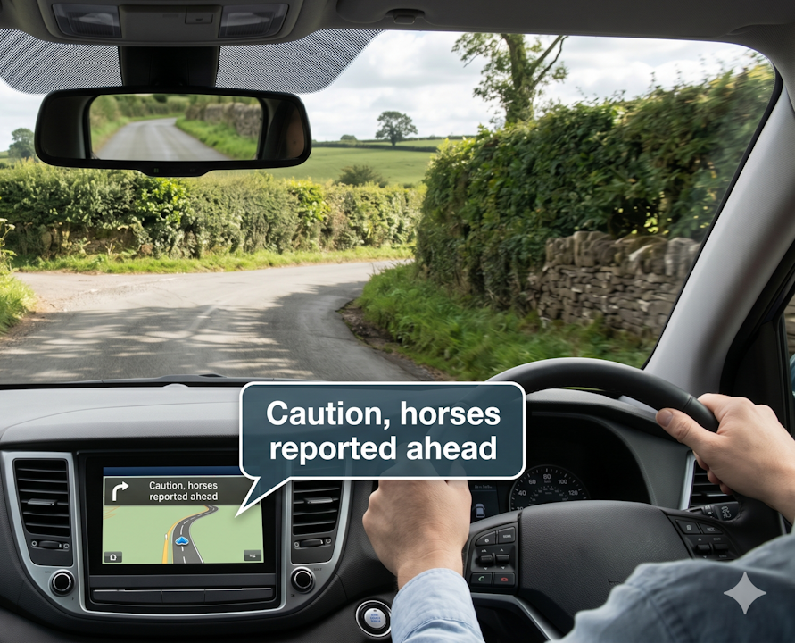
Creating the horse road sign GPS data enables communication with modern 'connected vehicle systems'. Google-Nav, Waze, Apple and OEM Nav systems are able to use it to warn drivers that "Horses are reported in the area".
Using smartphones on the Horsery® Platform is such an easy and effective way to improve road safety in this day and age; In the connected vehicle world, horses are classed as 'VRUs' (Vulnerable Road Users), and they are an 'edge case' because they're irregular with no digital signature. V2X Programmers (Vehicle to Everything) are hungry for any safety advancements. Horsery® helps them for free.
Share this free website with your horse riding friends to encourage mainstream adoption - improving road safety for our sport.
Help us build the native Horsery® App by registering your email address as an interested party. The founding 100 can get it for free for life.